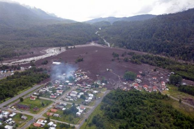
Chile is subject to many kinds of natural disasters due to its geographical situation. After weeks of researching natural hazards in the country of Chile, I have concluded that the main natural hazards impacting this country are due to earthquakes, tsunamis and volcanoes. These three would be considered a priority to the country of Chile because of the frequency and the severity of damages caused in this region.
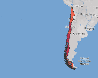
When it comes to earthquakes, Chile is one of the most seismically active countries in the world. This country is a hotspot for earthquakes because it is one of the few places where the three major plates meet called a triple junction. The Nazca plate borders the South American Plate for most part of the continent, but towards the tip of the continent and bordering Chile is the Antarctic Plate. The Nazca plate is submerged below the South American plate, and the pressure building up between the two plates is eventually released in the form of an earthquake.

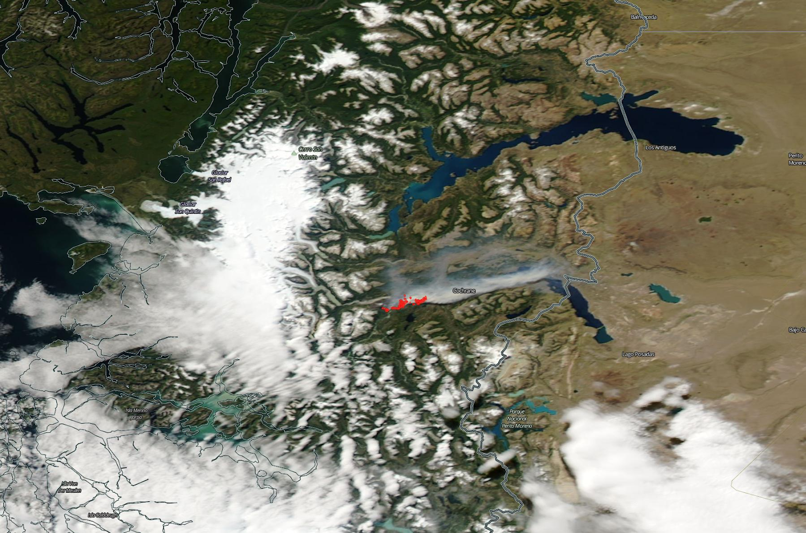
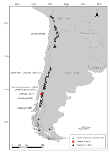
Volcanoes are another dangerous hazard in Chile. Even though significant damage has not been reported due to their eruptions, I still considered it a danger in Chile due to the volume of volcanoes in this country. Chile has more than 2000 volcanoes and about 500 are still active. Chile’s volcanoes include the highest in the world, Ojos del Salado. One of the most recent eruptions was The Villarrica volcano in southern Chile. In 2015, this volcano erupted and spewed ash and lava up to 1,000m (3,300ft) into the air.
.jpg)
Of the three, the hazard I would target first are the earthquakes in Chile. Currently, Chile uses the GNSS network to determine the magnitude of an earthquake. Then the GNSS stations send communication to the Emergency Alert System (SAE). This system is designed to alert Chilean residents of possible national emergencies. It is primarily used after earthquakes, when there exists a possibility of a tsunami, or during volcanic eruptions. The idea behind the system is to give people time to prepare and evacuate. It is an automatic system that sends alerts to all phones in a certain area. channels to alert residents. However, in order to mitigate damages, I would suggest using a new satellite-based early warning system called G-FAST. This early warning system uses the ground motion near fault lines to trigger warnings. The precision and timing of the G-FAST could add valuable information and time to predicting high magnitude earthquakes.
If I were to construct a house in Chile, I would select the northern region of Chile. A lot of the southern regions of Chile have been hit with earthquakes. Even though they have been rebuilt and modernized I would prefer to stick to the north where the climate is better and there is less structural crowding. Most of the significant damages due to earthquakes have occurred in central and the southern regions of Chile, so I would avoid those and move north.
References:
Why Chile is so prone to severe earthquakes • Earth.com
Natural risks in Chile - Expat.cl
Earthquakes: What can we learn from Chile? – DW – 11/16/2020


